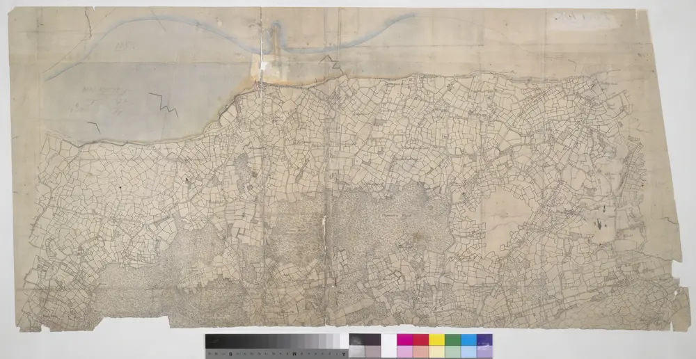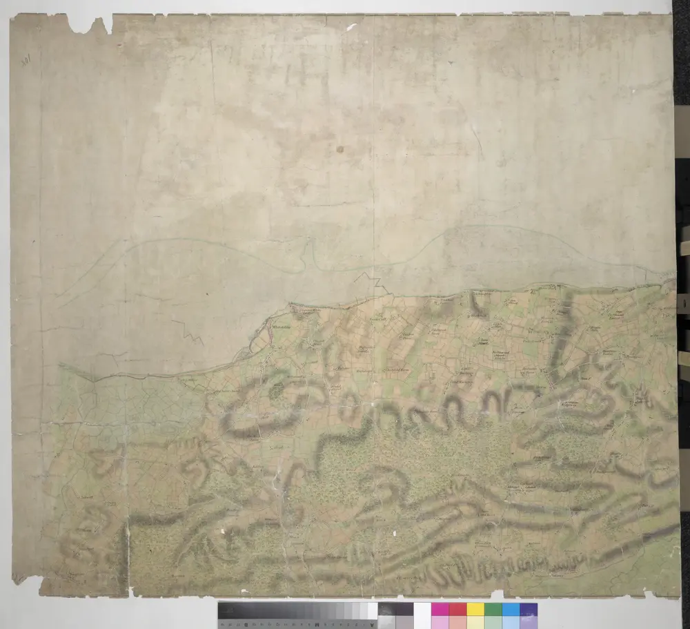


Boughton Street, Kent(002OSD000000015U00372000)
1797

Boughton Street, Kent(002OSD000000015U00371000)
1797

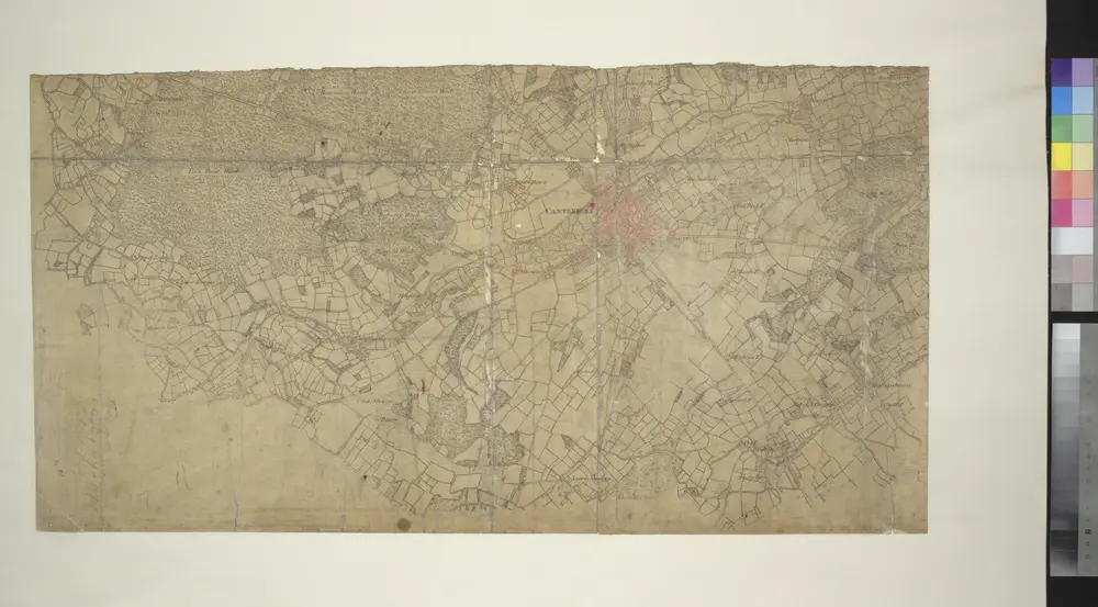
Canterbury, Kent
1799

TR15 - OS 1:25,000 Provisional Series Map
1938
Ordnance Survey
1:25k

TR16 - OS 1:25,000 Provisional Series Map
1938
Ordnance Survey
1:25k

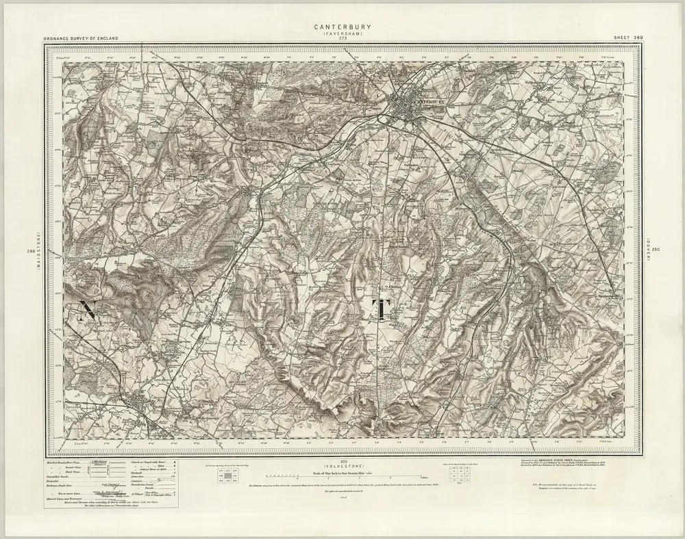
289 Canterbury (Hills)
1895
Ordnance Survey Office
1:63k

Canterbury (Hills) - OS One-Inch Revised New Series
1893
Ordnance Survey
1:63k

Canterbury (Outline) - OS One-Inch Revised New Series
1893
Ordnance Survey
1:63k

Kent XXXV - OS Six-Inch Map
1872
Ordnance Survey
1:11k

Kent XLVI - OS Six-Inch Map
1872
Ordnance Survey
1:11k


Old maps of City of Canterbury
Discover the past of City of Canterbury on historical maps
Old maps of City of Canterbury
Discover the past of City of Canterbury on historical maps
Looking for a Google Maps API Alternative?