Sign in to access WMTS endpoints.
Sign in to download GeoTIFF.
Sign in to export as IIIF.
Compare
Website
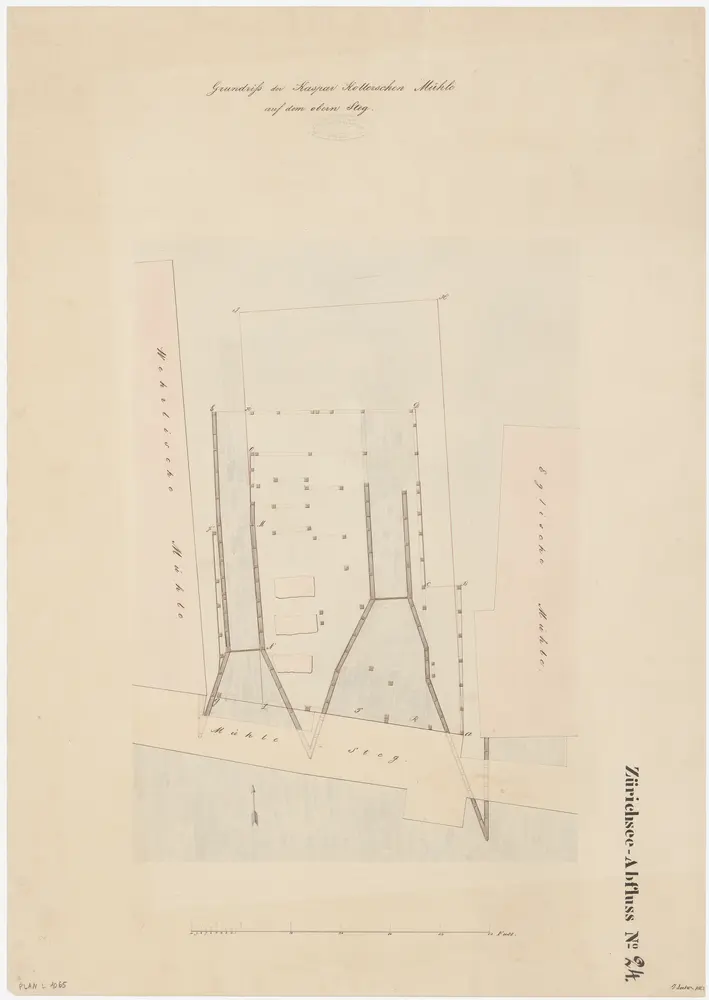
Zürich: Oberer Mühlesteg, Mühle Rohrdorf (früher Mühle Koller); Situationsplan und Grundriss (Zürichsee-Abfluss Nr. 24)
PLAN_L_1065
Maps
From 1842-01-01 to 1842-12-31
Locher, J.
59.5 × 42.2 cm
1 : 100
300