Wald: Pfrundgüter mit Kirche und Pfarrhaus; Grundrisse (Nr. 20)
Identifier
PLAN_R_1173
Collection
Maps
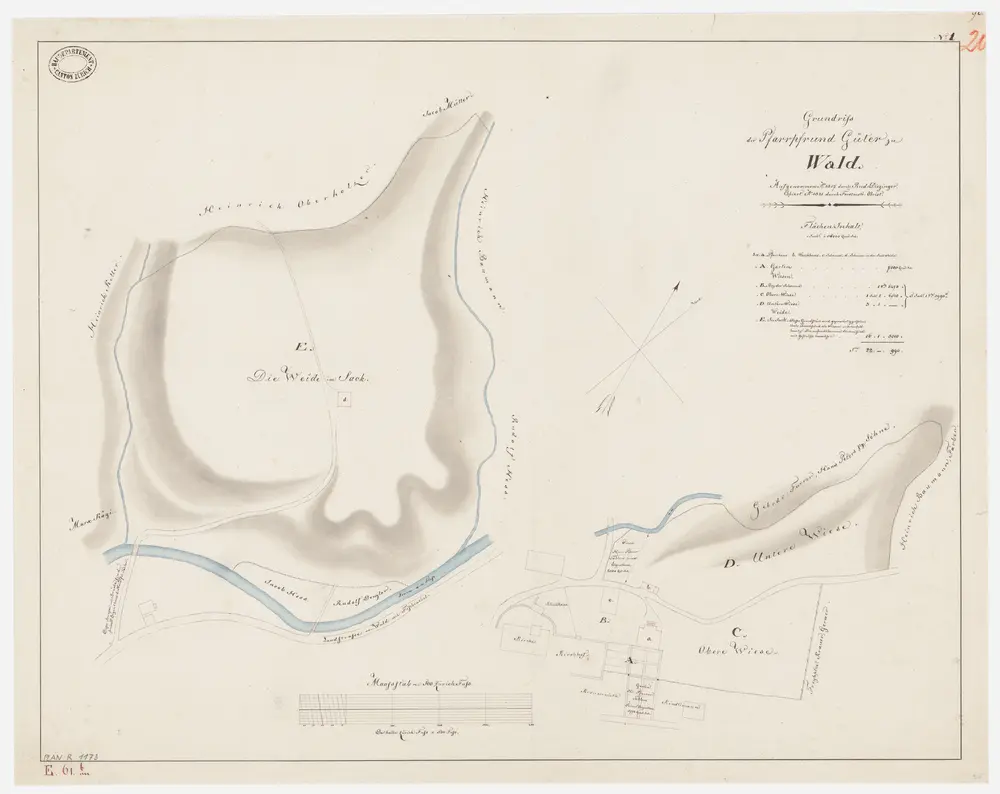
Description
Kopiert auf der Basis einer im Jahr 1817 von Rudolf Diezinger, Geometer, von und in Wädenswil, verfertigten Aufnahme. Mit Verzeichnis der Flächeninhalte der Güter sowie mit Angabe der Namen der Eigentümer von Privatgrundstücken.
Depicted date
From 1821-01-01 to 1821-12-31
Creator
Obrist, Kaspar (1791-1869), Forstmeister und Geometer, von Zollikon