Staatsarchiv des Kantons Zürich
ArcGIS, QGIS or web apps can simply use this map with web map services. WMTS, TileJSON or XYZ tiles are provided for quick access to processed maps.
Sign in to get links.
Sign in to download GeoTIFF.
Overlay & compare
iiif viewer, iiif info json
Website
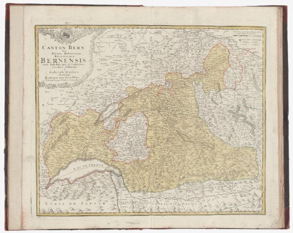
Atlas der alten Eidgenossenschaft in 20 Karten: Kanton Bern
PLAN_G_11_3
Maps
Originaltitel: Canton Bern sive Illustris Helvetiorum Respublica Bernensis cum Subditis suis et Confinibus.
From 1766-01-01 to 1766-12-31
Zeichnung: Walser, Gabriel (1695-1776), reformierter Pfarrer, von Teufen AR Herausgeber: Homännische Erben
62 × 54.5 cm
300