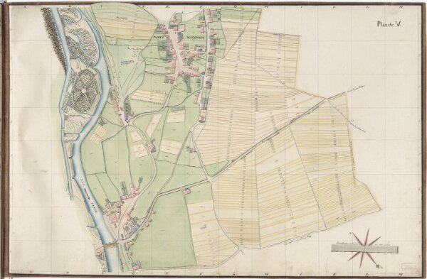
Wiedikon und Aussersihl: Vermessung der Gemeinden: Planche V: Übriger Teil des oberen Sihlfelds und darum liegende Gebäude, grösster Teil des Dorfs Wiedikon und dazwischen liegende Güter
ArcGIS, QGIS or web apps can simply
use this map with web map services.
WMTS, TileJSON or XYZ tiles
are provided for quick access to processed maps.
Sign in to get links.