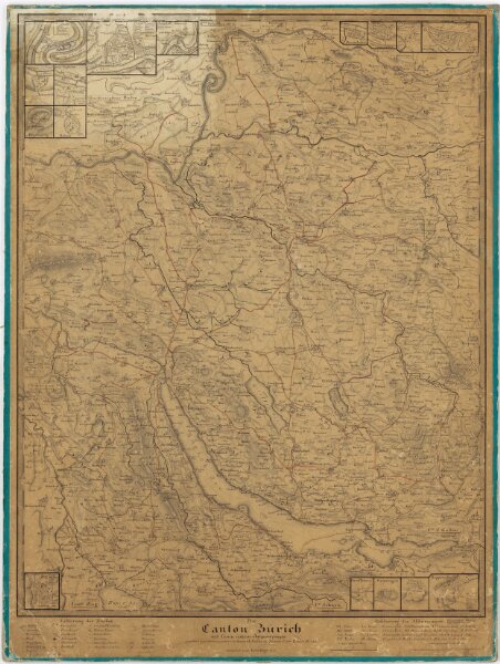
Karte des Kantons Zürich mit den gebauten, in Bau befindlichen und geplanten Strassen am Anfang des Jahres 1850
ArcGIS, QGIS or web apps can simply
use this map with web map services.
WMTS, TileJSON or XYZ tiles
are provided for quick access to processed maps.
Sign in to get links.