Staatsarchiv des Kantons Zürich
ArcGIS, QGIS or web apps can simply use this map with web map services. WMTS, TileJSON or XYZ tiles are provided for quick access to processed maps.
Sign in to get links.
Sign in to download GeoTIFF.
Overlay & compare
iiif viewer, iiif info json
Website
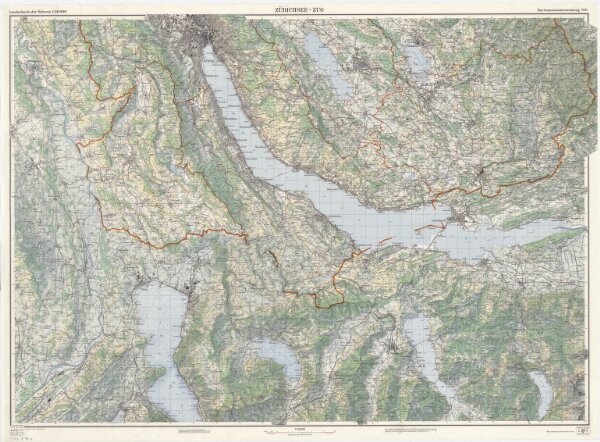
Landeskarte der Schweiz 1 : 50000: Kartenzusammensetzung 5011 (Zürichsee-Zug)
PLAN_A_98_a
Maps
Mit farbigem Eindruck der Gemeinde-, Bezirks- und Kantonsgrenzen.
From 1969-01-01 to 1969-12-31
Eidgenössische Landestopographie, in Köniz-Wabern
116.8 × 75.9 cm
1 : 50000
300